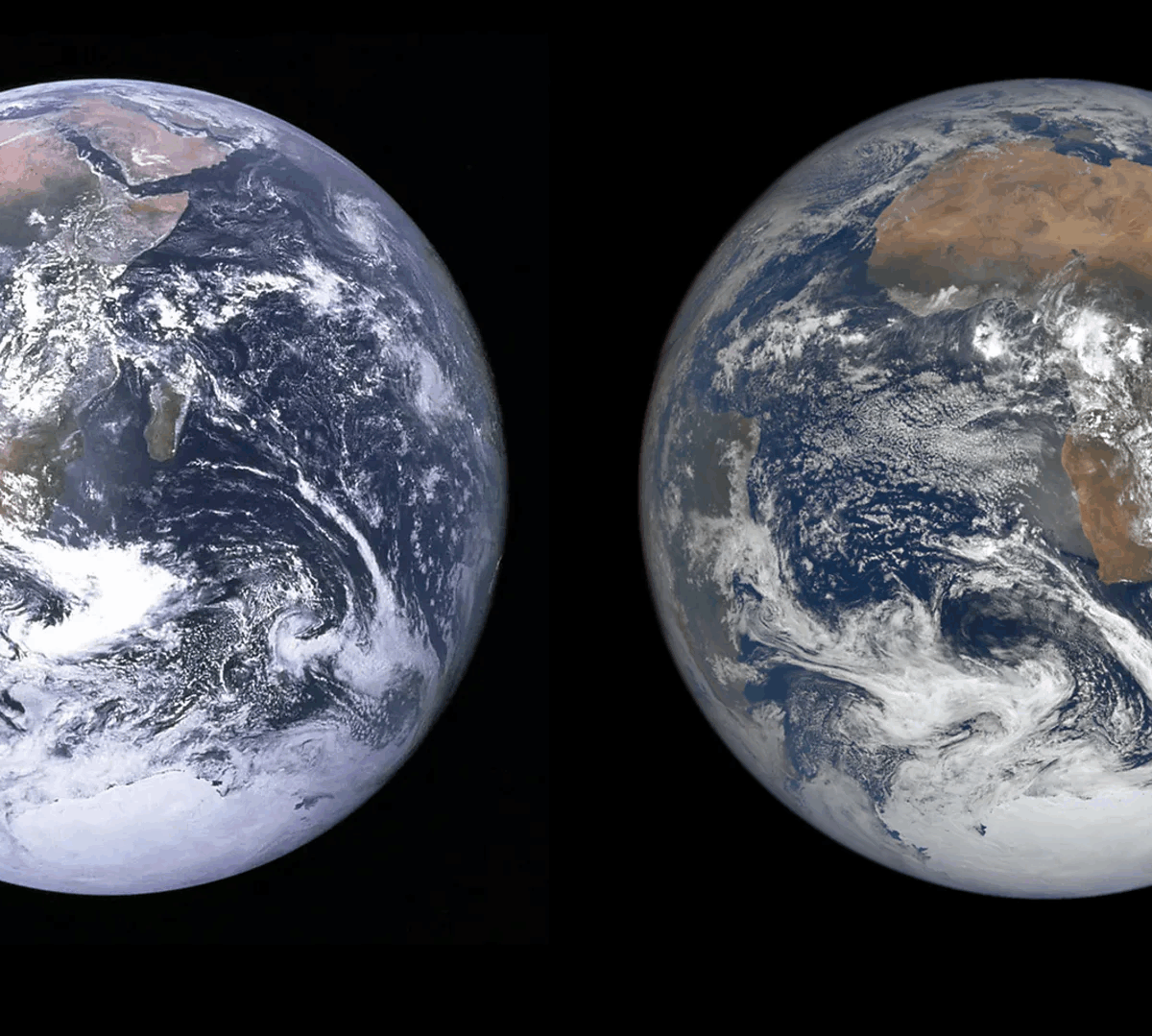
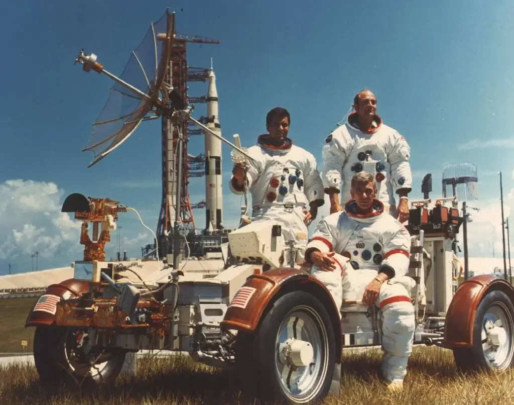
In 1972, the Apollo 17 crew captured a photograph that would become one of the most iconic images ever taken: the “Blue Marble.” This full view of Earth, suspended in the darkness of space, inspired a new era of environmental awareness. But 50 years on, the image of our planet has changed—and satellites now reveal just how profound those changes have been.
Over the past five decades, Earth has undergone sweeping environmental transformations, many of which are clearly visible from space. Thanks to the wealth of data collected by satellites from NASA, ESA, and other space agencies, we can now observe the effects of climate change on a global scale—from melting ice caps to shifting vegetation and rising seas.
The Arctic offers one of the starkest examples. Since satellite monitoring began in the late 1970s, Arctic sea ice has declined by about 13% per decade. The ice minimums recorded each summer have hit unprecedented lows. In Greenland, glaciers are retreating at an accelerating rate, contributing to rising sea levels. These changes form part of a feedback loop: as reflective ice disappears, darker ocean water absorbs more heat, speeding up warming.
In Antarctica, similar trends are underway. The West Antarctic Ice Sheet is rapidly losing mass, and even the more stable East Antarctic region has begun showing signs of vulnerability. The melting of polar ice continues to be a major contributor to global sea level rise, threatening low-lying regions across the globe.
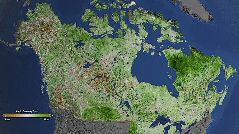
Satellite imagery also reveals major changes in Earth’s vegetation. In some northern regions, like Siberia and Canada, warming temperatures have extended growing seasons, leading to a phenomenon known as “Arctic greening.” In contrast, many other areas are experiencing the opposite effect. The Amazon rainforest, crucial for absorbing carbon dioxide, is being reduced by deforestation, drought, and fire. Vast areas of forest are being replaced with dry or degraded land, visible from orbit.
Desertification is expanding in many parts of the world. The Sahara Desert has been slowly advancing southward, while arid zones in Central Asia and western China are growing. These trends, driven by a mix of climate pressures and human land use, have major implications for food and water security.
Rising seas are reshaping coastlines. Satellite data shows how areas like the Mississippi Delta and small island nations are being overtaken by water. Some communities are already facing displacement. At the same time, urban expansion—especially along coasts—is placing more people in vulnerable zones.
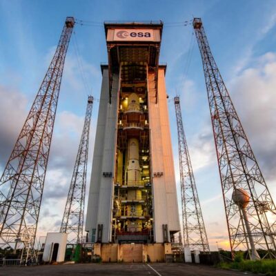
Today’s advanced Earth-observation satellites—such as the Landsat series and ESA’s Sentinel missions—offer a detailed, ongoing record of our planet’s transformation. This growing archive not only allows us to look back at what’s changed, but also helps scientists forecast what’s to come.
The original “Blue Marble” remains a symbol of Earth’s beauty. But modern satellite images show a more complex story—one marked by rapid change, human impact, and an urgent need for climate action. From space, our planet is still stunning—but it now carries visible signs of strain.